Stay Up To Date
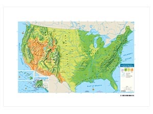
3-D RAISED-RELIEF PHYSICAL U.S. DESK MAP
Colors distinguish four biomes: forest, grasslands, shrub or desert, and tundra.
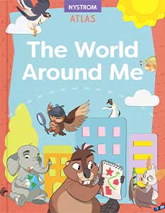
NYSTROM THE WORLD AROUND ME STUDENT ATLAS
PAPERBACK ATLAS The first edition of The Nystrom World Around Me Atlas features a group of friendly Planet Pals who guide kindergartners in exploring family, friends, and themselves as well as towns, our country, and the world.
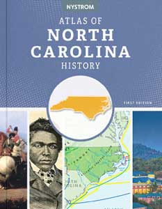
NYSTROM ATLAS OF NORTH CAROLINA HISTORY
PAPERBACK ATLAS The first edition of the Nystrom Atlas of North Carolina History uses a variety of approaches to teach the geographic history of North Carolina in new and exciting ways by incorporating maps, graphs, charts, and images.
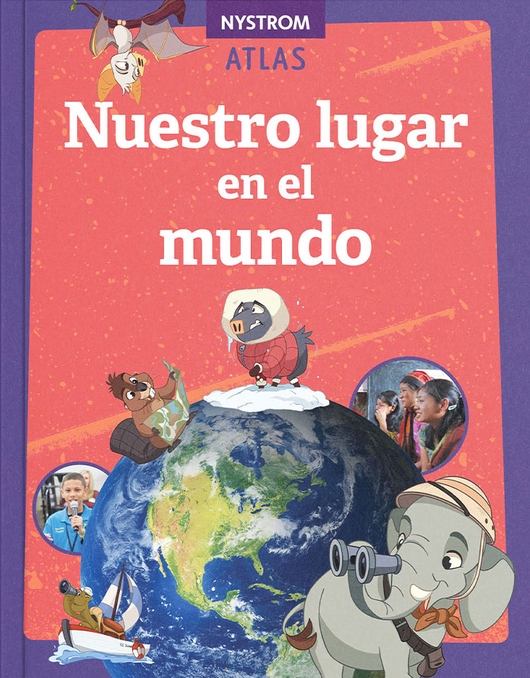
Nuestro Lugar en el Mundo (Our place in the World)
Nuestro lugar en el mundo is identical to its English counterpart, Our Place in the World.
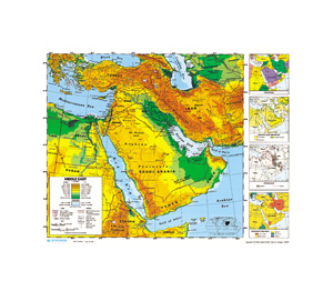
SCULPTURAL RELIEF DESK MAP OF AFRICA AND THE MIDDLE EAST
Country borders are indicated by unobtrusive lines that leave patterns of physical relief unobstructed.
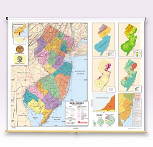
NEW JERSEY
Inset graphs and/or thematic maps provide information about such topics as population, land use, growing seasons, or other topics important to your state.
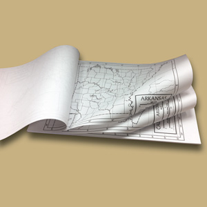
OUTLINE PAD MAPS
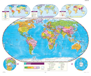
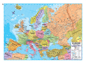
All maps show latitude and longitude, and the world map includes South Sudan.
ADVANCED POLITICAL DESKPAD MAPS
A five-color scheme distinguishes nations (or states in the U.