Stay Up To Date
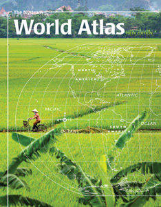
THE NYSTROM WORLD ATLAS
PAPERBACK ATLAS Deepen students’ understanding of the world they live in through a geographical exploration of the seven continents with the Nystrom World Atlas.
STATE STUDIES
Students develop critical-thinking skills as they organize ideas about tourism into persuasive slogans.
DAILY WARM-UPS—WORLD GEOGRAPHY AND CULTURES
The book divides the world into ten regions, then asks questions about such topics as maps, relative and absolute locations, landforms, populations, climate, countries and capitals, language, and nicknames.
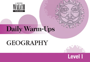
DAILY WARM-UPS—GEOGRAPHY
Useful as mental warm-ups at the start of a class, time fillers at class’s end, transitions in the middle, all questions are geared to national geography standards and range from simple recall to questions that demand critical thought and research.
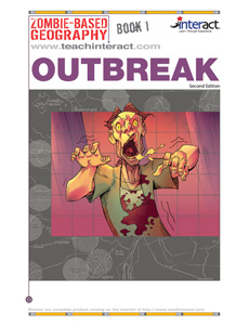
ZOMBIE-BASED GEOGRAPHY
Those questions, key to survival, can focus student attention on a highly motivating and dangerously overlooked fact: Geography skills can save you from the zombie apocalypse! Use students’ natural desire to survive zombie assaults to motivate study of a complete curriculum based on the National Geography Standards, and then to apply those skills in a […]
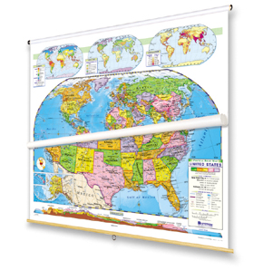
THE PIONEER
It features thousands of place names, finely detailed national boundaries, and mountains in raised relief.
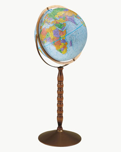
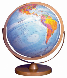
THE TREASURY
The globe stands 34½ inches high on a walnut-finished wood pedestal supported by a metal base with antique brown finish.