Stay Up To Date
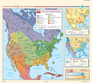
THE NYSTROM COMPLETE U.S. HISTORY MAP SET
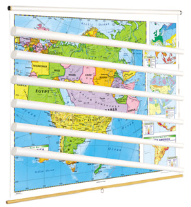
The 45″h x 50″w maps are printed on durable, tear-resistant stock markable/wipeable with most wet-erase markers.
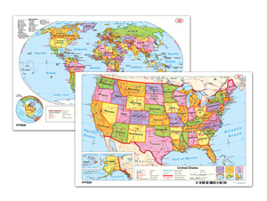
READINESS WORLD AND U.S. DESK MAP
The double-sided map measures 11″h x 17″w and features the world on one side and the United States on the other.
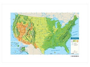
3-D RAISED-RELIEF PHYSICAL U.S. DESK MAP
Colors distinguish four biomes: forest, grasslands, shrub or desert, and tundra.
EARLY LEARNING MAP SERIES
This United States map and world map combine to provide basic geographic information using simple cartographic symbols and conventions.
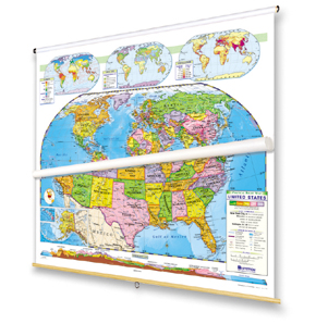
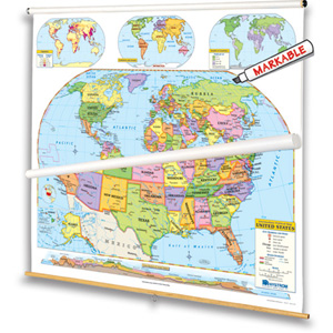
READINESS CLASS PACK
The legends on both maps explicitly explain how map symbols and conventions work, and both show shaded relief, capital and major cities (with type size denoting population), and include longitude and latitude.
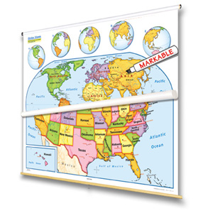
INTERMEDIATE POLITICAL MAP SERIES
Both show shaded relief, capital and major cities (with type size denoting population), and include longitude and latitude.
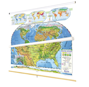
LAND COVER CLASS PACK
Naturalistic colors mark eight kinds of land cover: cropland, grassland, desert and semi-desert, tundra, glacier, broadleaf forests, needleleaf forests, and tropical rainforests.
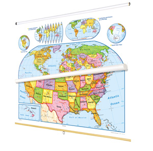
POLITICAL RELIEF CONTINENTS AND REGIONS MAP SERIES
The maps include country names, major and capital cities (with type size indicating population), longitude and latitude, and (except for the Australia/Oceania map) cross-continental cross-section elevation profiles.